Point cloud to mesh software will be used to ‘drive forward’ Autodesk’s future scan-to-BIM workflow Autodesk has purchased certain PointFuse IP and commercially available offerings and plans to integrate the UK firm’s reality modelling technology into the Autodesk...
Software allows users to create geotechnical graph outputs using data from Seequent’s OpenGround Oasys Giraphe is a new geotechnical graphing software designed to makes it easier for users to create, customise, update, and interpret graphs. It is integrated with...
Acquisition will give Graitec tools for enhancing Revit model efficiency AEC software developer Graitec has acquired Ideate Software, a US firm that offers plug-ins for Revit as well as a scripting solution that enables Revit users to run time-intensive Revit tasks in...
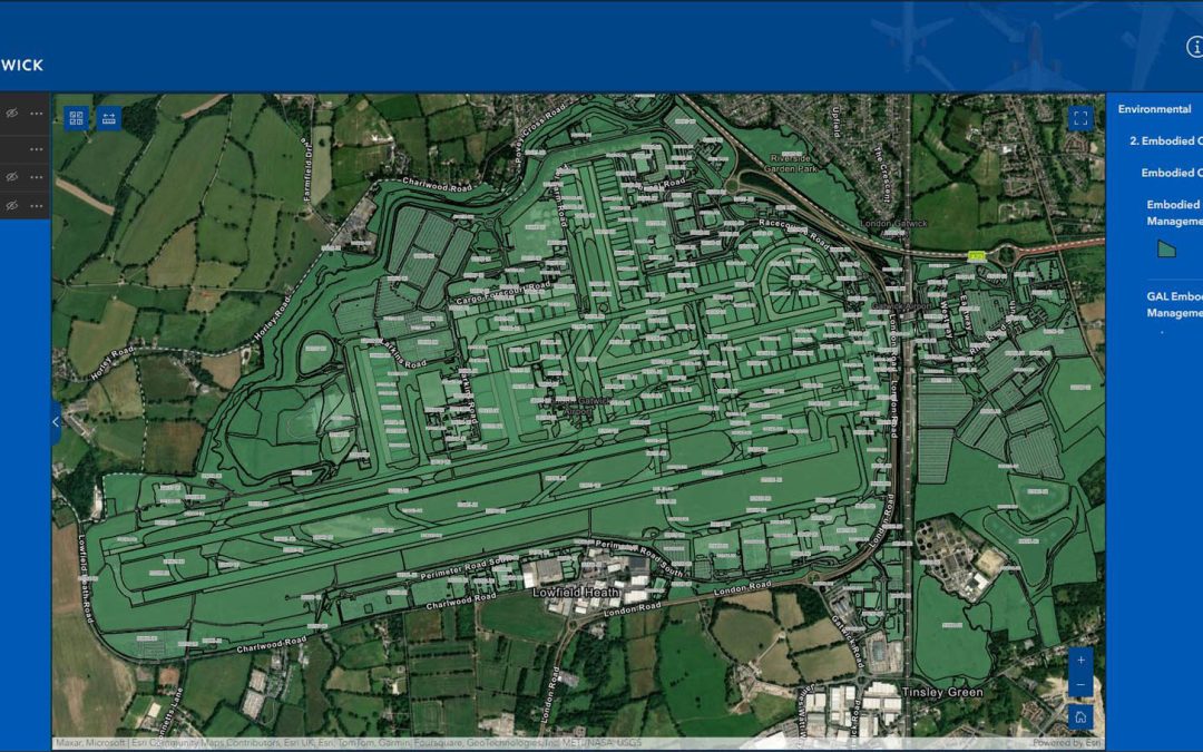
Platform uses Esri GIS technology to help manage environmental impact and reduce risk of airport disruption from accidental damage to utilities London Gatwick has created a new geospatial platform using Esri’s GIS technology to support multiple operational areas at...
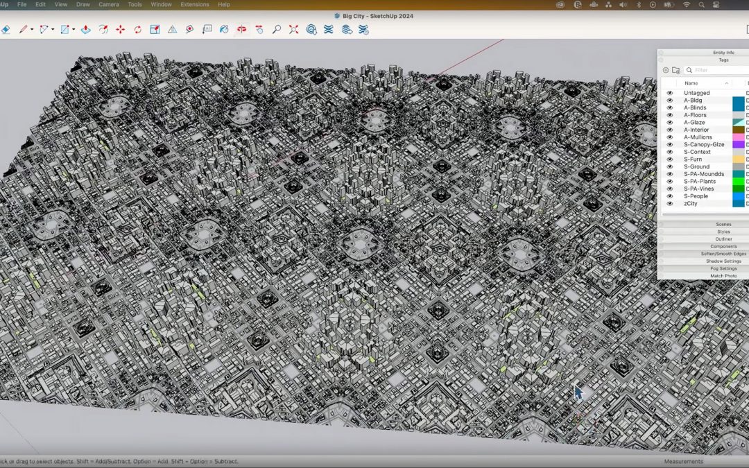
New graphics engine in SketchUp 2024 promises better 3D performance and enhanced realism SketchUp 2024, the latest release of the push pull modeller commonly used for architectural concept design, has a brand-new graphics engine designed to increase 3D performance,...
Enscape Building Performance module to deliver real time analysis and visulisation for energy, daylight and thermal comfort Chaos has shared more details about its partnership with IES designed to bring real time building performance analysis to its real-time...